Vietnam
Geography
Location
Southeastern Asia, bordering the Gulf of Thailand, Gulf of Tonkin, and South China Sea, as well as China, Laos, and Cambodia
Geographic Coordinates
16 10 N, 107 50 E
Map References
Southeast Asia
Area
Total: 331,210 sq km
Land: 310,070 sq km
Water: 21,140 sq km
Country Comparison to the World: 67
Area Comparative: About three times the size of Tennessee; slightly larger than New Mexico
Land Boundaries
Total: 4,616 km
Border Countries (3): Cambodia 1158 km, China 1297 km, Laos 2161 km
Coastline: 3,444 km (excludes islands)
Maritime Claims
Territorial sea: 12 nm
Exclusive economic zone: 200 nm
Contiguous zone: 24 nm
Continental shelf: 200 nm or to the edge of the continental margin
Climate
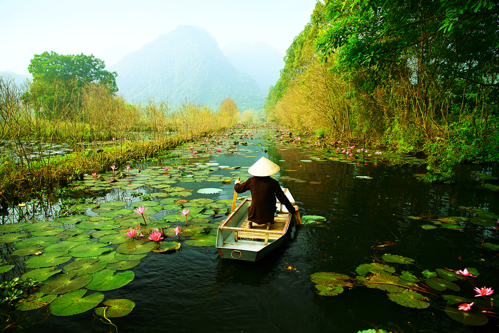
Tropical in south; monsoonal in north with hot, rainy season (May to September) and warm, dry season (October to March)
Terrain
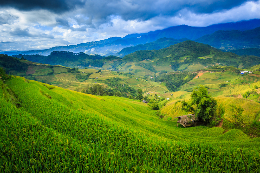
Low, flat delta in south and north; central highlands; hilly, mountainous in far north and northwest
Elevation
Mean elevation: 398 m
Lowest point: South China Sea 0 m
Highest point: Fan Si Pan 3,144 m
Natural Resources
Antimony, phosphates, coal, manganese, rare earth elements, bauxite, chromate, offshore oil and gas deposits, timber, hydropower, arable land
Land Use
Agricultural land: 34.8% (2011 est.)
Arable land: 20.6% (2011 est.)
Permanent crops: 12.1% (2011 est.)
Permanent pasture: 2.1% (2011 est.)
Forest: 45% (2011 est.)
Other: 20.2% (2011 est.)
Irrigated land: 46,000 sq km (2012)
Population Distribution
Though it has one of the highest population densities in the world, the population is not evenly dispersed; clustering is heaviest along the South China Sea and Gulf of Tonkin, with the Mekong Delta (in the south) and the Red River Valley (in the north) having the largest concentrations of people
Natural Hazards
Occasional typhoons (May to January) with extensive flooding, especially in the Mekong River delta
Current Environmental Issues
Logging and slash-and-burn agricultural practices contribute to deforestation and soil degradation; water pollution and overfishing threaten marine life populations; groundwater contamination limits potable water supply; air pollution; growing urban industrialization and population migration are rapidly degrading environment in Hanoi and Ho Chi Minh City
Notes
- Extending 1,650 km north to south, the country is only 50 km across at its narrowest point
Article written for World Trade Press by CIA Factbook, Current as of 5 May, 2021.
Copyright © 1993–2025 World Trade Press. All rights reserved.